


In the ever-evolving world of land surveying, technology has enabled professionals to streamline processes, improve accuracy, and reduce on-site time. One such innovation is a cutting-edge method transforming how land mapping and surveys are conducted. From 3D drone surveys to aerial mapping surveys, it offers numerous advantages over traditional methods. This article explores how UAV drone surveying is unlocking the power of accurate land mapping and why it is a game-changer for industries such as construction, agriculture, and oil and gas.
Table of Contents
What is UAV Drone Surveying?
UAV drone surveying involves using unmanned aerial vehicles, or drones, equipped with advanced sensors and cameras to capture geospatial data from the air. These drones can fly over vast areas, collecting high-resolution images and other data that are processed into accurate 3D maps, models, and topographic information. Drones are also highly effective for aerial mapping surveys, providing detailed, precise topographic data for a wide range of applications, including land development, environmental monitoring, and infrastructure planning.
With UAVs, professionals can gather essential data faster and more efficiently while ensuring highly accurate results. This technology has become indispensable for land surveying, construction planning, environmental assessments, and more, especially in regions like Alberta, where vast, varied terrain requires precise, efficient surveying solutions.
The Benefits of UAV Drone Surveying
Faster Data Collection
With UAV drone surveying, this work is done remotely, allowing surveyors to capture large amounts of data in a fraction of the time. Drones can cover vast areas in just a few hours, providing surveyors with instant access to the data they need. Additionally, drones are ideal for 3D drone surveys, enabling the creation of highly detailed, accurate 3D models and maps that streamline analysis and decision-making.
Improved Accuracy and Precision
One of the most significant advantages of UAV drone surveying is its high level of accuracy. With advanced sensors, such as thermal-imaging drones and GPS technology, it can capture precise measurements of land features, elevations, and structures. This results in highly accurate 3D models and geospatial data that can be used for a variety of applications, from planning construction projects to monitoring environmental changes.
Reduced Costs
Using drones for surveying can help companies save money by eliminating the need for expensive equipment, such as helicopters or ground-based surveying tools. Additionally, faster data collection and reduced labor requirements mean survey projects can be completed more quickly, lowering overall project costs.
Access to Hard-to-Reach Areas
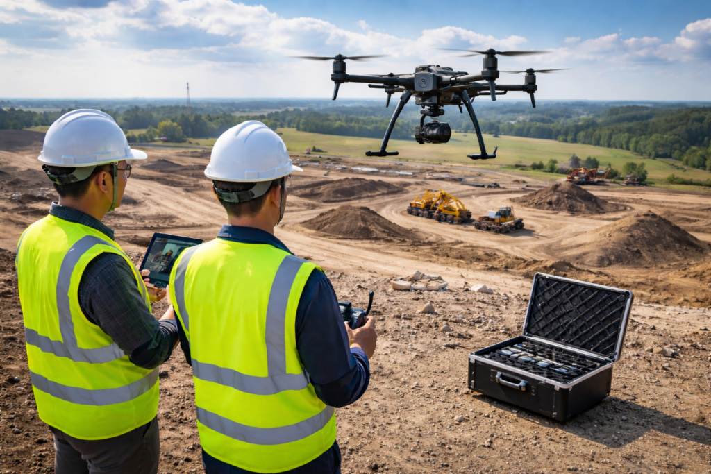
In areas with limited access, such as steep terrain, hazardous environments, or construction sites, it provides a safe and efficient way to gather data. Drones can easily navigate around obstacles, providing surveyors with the necessary information without putting themselves in dangerous situations.

Transform your land surveying with Apex Geomatics’ expert UAV drone services today!
Applications of UAV Drone Surveying
3D Drone Survey for Construction
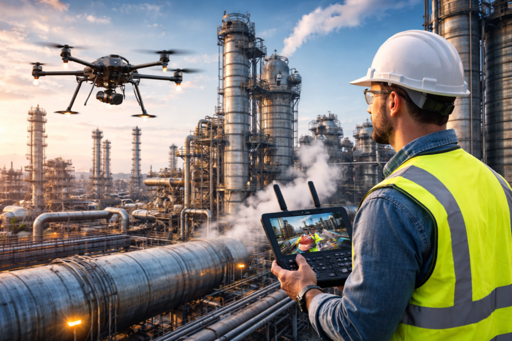
In the construction industry, accurate land mapping is crucial for planning, design, and project management. These 3D models help construction teams track progress, manage resources, and optimize designs, ensuring that projects run smoothly and efficiently. Similarly, drone inspection oil and gas is essential for monitoring infrastructure, detecting issues, and ensuring safe operations in the oil and gas sector, further highlighting the versatility and value of UAV technologies across industries.
Aerial Mapping Surveys for Agriculture
UAV drones are also making a significant impact on the agricultural industry by providing precise aerial mapping. Drones equipped with high-resolution cameras and multispectral sensors can monitor crop health, track irrigation systems, and assess soil conditions. This data allows farmers to make informed decisions about irrigation, fertilization, and pest control, ultimately leading to improved crop yields and more sustainable farming practices.
Geospatial Data Solutions for Land Management
Geospatial data collected through UAV drone surveying can be used for various land management purposes. From creating accurate topographic maps to monitoring land-use changes, drone data enables better decision-making in land development and environmental management. This data is a key component of geospatial solutions, providing comprehensive insights to industries such as construction, agriculture, and land planning to optimize operations and improve accuracy.
Key Technologies for Apex Geomatics
Thermal Imaging Drones
In Apex Geomatics, thermal-imaging drones can monitor temperature variations across the land, providing valuable insights into soil conditions, vegetation health, and even geological features. Thermal imaging drones are equipped with specialized cameras that detect heat signatures. These drones are invaluable for a range of applications, from detecting heat loss in buildings to inspecting pipelines for leaks.
UAV Mapping Services
UAV mapping services allow for the creation of highly accurate 3D models and maps of the surveyed land. These models are useful for various applications, including land development, construction planning, and environmental assessments. UAV mapping services use a combination of drone-captured imagery and advanced software to generate detailed, georeferenced maps for analysis, design, and decision-making.
How UAV Drone Surveying Works
- Pre-Flight Planning: Surveyors plan the drone flight path to ensure that the area to be surveyed is covered efficiently. This includes determining the altitude, speed, and camera settings.
- Data Collection: Once the drone is in the air, it captures high-resolution imagery and other data from various sensors, including thermal imaging cameras, GPS, and LiDAR (Light Detection and Ranging) systems.
- Data Processing: The collected data is processed using specialized software to create 3D models, topographic maps, and other visualizations. These models are then analyzed to extract useful information for decision-making.
- Post-Processing and Analysis: After data processing, surveyors analyze the results to identify key insights, such as changes in elevation, land contours, and vegetation. This analysis is used to inform decisions on land use, construction, or resource management.
How Advancements in Drone Surveying Will Shape the Future
As drone technology continues to advance, the capabilities of UAV drone surveying will only improve. The integration of AI and machine learning into UAV systems will enable drones to automatically analyze data in real-time, making surveying even more efficient and accurate. This progress is particularly valuable for drone land surveying, where quick, precise data collection and immediate analysis are crucial for large-scale projects, ensuring better decision-making and faster results.
Conclusion
UAV drone surveying has revolutionized land mapping and surveying, offering faster, more accurate, and cost-effective solutions for a wide range of industries. From 3D drone surveys to thermal-imaging drones, they provide powerful tools for capturing geospatial data used in construction, agriculture, oil and gas, and more. As the technology continues to evolve, it will undoubtedly play an even more significant role in shaping the future of land management and development.
FAQs
What is the difference between UAV surveying and traditional surveying?
They are faster, more accurate, and can access hard-to-reach areas, making them more efficient for large-scale projects. UAV surveying uses drones to collect aerial data, whereas traditional surveying involves manual fieldwork with tools such as total stations and GPS.
How accurate is UAV drone surveying?
UAV drone surveying can achieve high levels of accuracy, often within a few centimeters, depending on the quality of the drone’s sensors and the data-processing software. This level of precision is ideal for 3D mapping, land development, and environmental monitoring.
Can UAV drones be used for inspections?
Yes, they are widely used for drone inspections in industries like oil and gas, where they can safely inspect pipelines, infrastructure, and facilities. Thermal imaging drones, in particular, are useful for detecting leaks and monitoring equipment condition.
What industries benefit most from drone surveying?
Drone surveying is beneficial for a variety of industries, including construction, agriculture, oil and gas, environmental monitoring, and land management. It is particularly useful for large-scale projects where accuracy, speed, and safety are crucial.
Can UAV drones be used in hazardous environments or dangerous locations?
Yes, UAV drones are highly effective in hazardous environments where traditional surveying methods may be unsafe, such as in areas with extreme temperatures, rough terrain, or near oil and gas facilities. Drones reduce the need for workers to be exposed to potentially dangerous conditions.


